Problem Presented
The district faced challenges like expired food, unsanitary buildings, pest infestations, and criminal activities in bodegas. The Legislator sought to evaluate and improve urban food access compared to an ideal standard. Traditional data representations, such as census tract maps, were insufficient for addressing these on-the-ground issues.
How it StartedResults
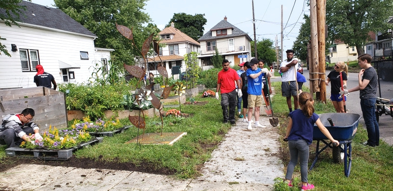
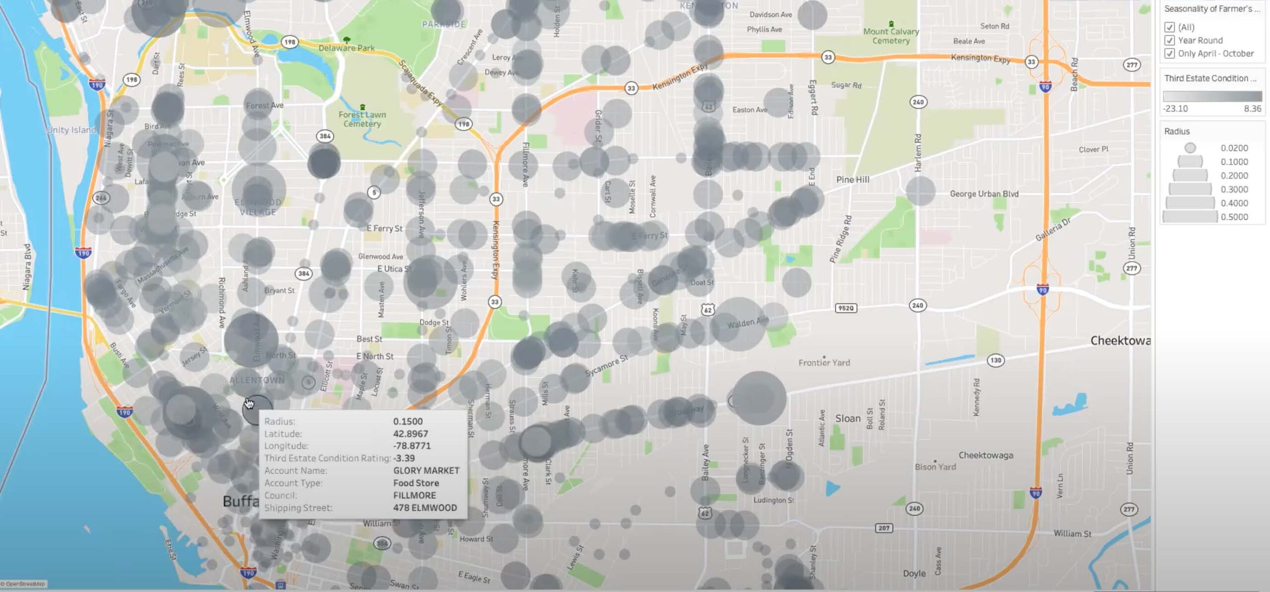
We created a heat map to visually represent food store presence, highlighting areas of need. Our system suggested potential solutions, such as community gardens and bodegas, based on specific attributes. Users could then activate government workflows to enhance the neighborhood’s food accessibility. This approach led to increased regulatory oversight, with the Legislator effectively using the system’s findings to make impactful licensing decisions. As a testament to our efforts, two upcoming licensure hearings will result in denials due to our initiative.
Report Store Violations
